
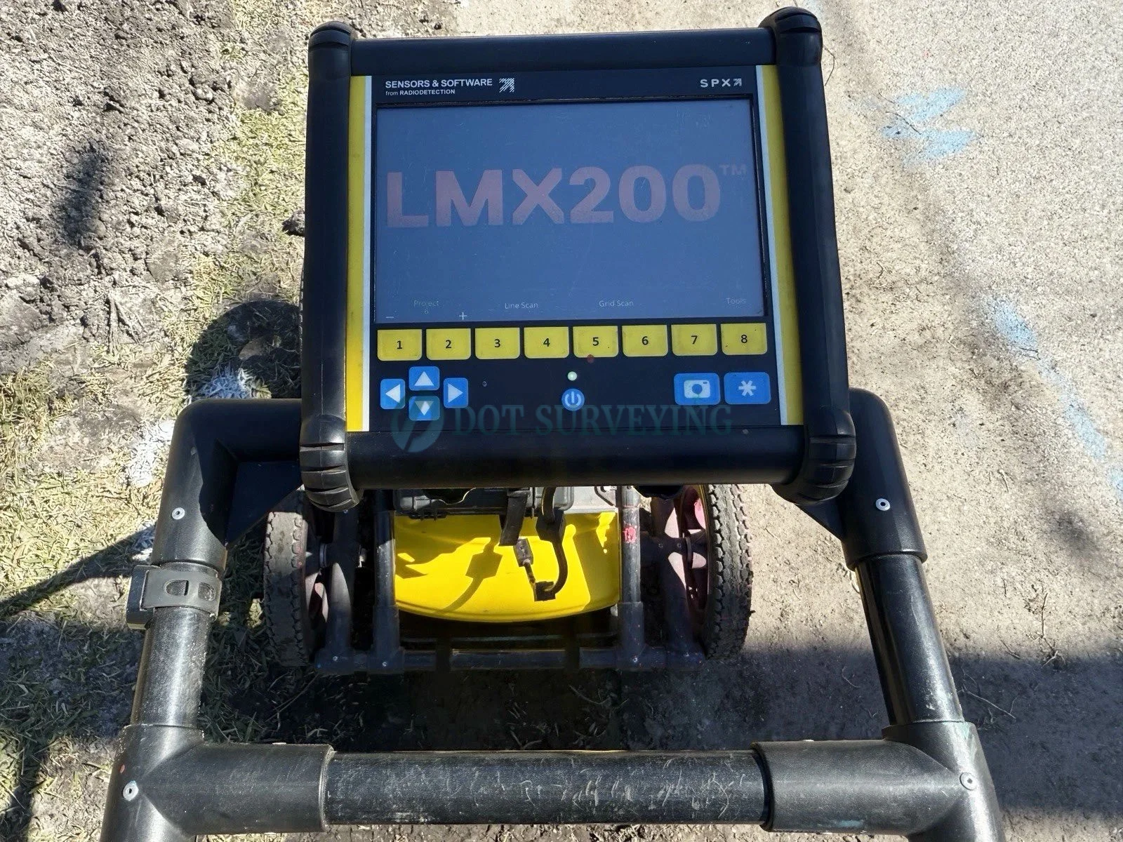
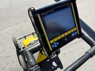
Sensors & Software LMX200 GPR Underground Utility Locator

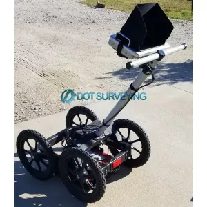

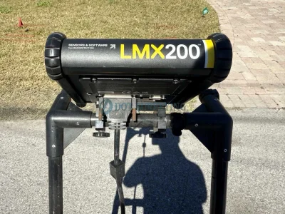
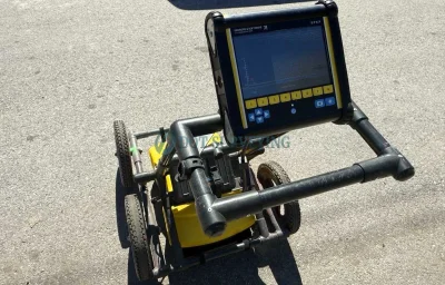
Shop pre-owned Sensors & Software LMX200 GPR Underground Utility Locator with internal GPS. Fully inspected, bench-tested, and field-verified to be in complete working condition. This pre-owned system is ready to deploy immediately for Subsurface Utility Engineering (SUE), municipal planning, construction site surveys, and damage prevention projects.
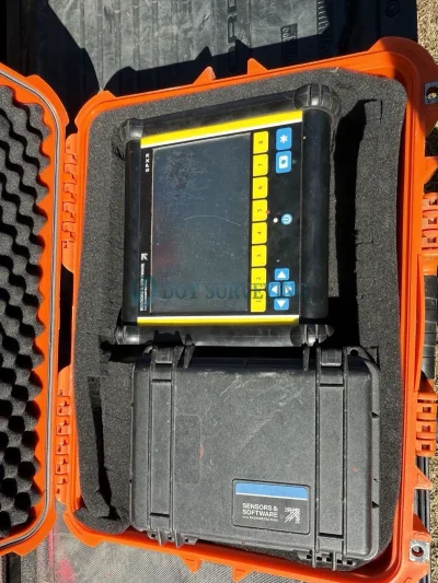
Kit Includes;
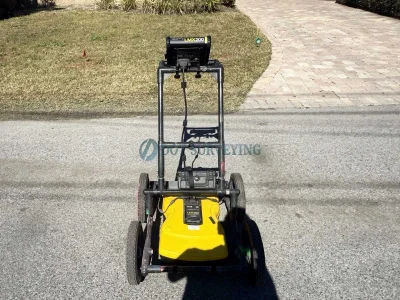
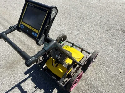
- LMX200 unit and display with Wheels cart
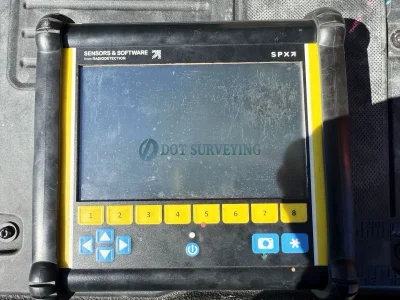
- 8.0"diagonal, high-visibility, sunlight-readable LCD color display with touchscreen
- Internal GPS for geotagging screen captures
- On-site report software with line and grid map views
- Built-in Wi-Fi, allowing you to send mini-reports from the field
- Sensor assembly
- Data markers to highlight features on your data
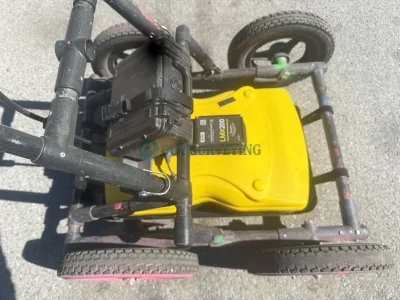
- GPR sled with medium wheels
- USB for quick data transfer
- Rechargeable Lead acid battery with AC charger
Sensors & Software LMX200 Ground Penetrating Radar (GPR)
The Sensors & Software LMX200 Ground Penetrating Radar (GPR) system is the premier solution for professional underground utility locating and subsurface asset mapping. Engineered specifically for Subsurface Utility Engineering (SUE), public works, and damage prevention teams, the LMX200 delivers deep subsurface visualization up to 8 meters (26 feet).
Powered by a patented ultra-wideband (UWB) 250 MHz antenna and non-metallic fiberglass frame, it allows operators to accurately locate utilities where traditional electromagnetic locators fail—including non-metallic PVC pipes, asbestos cement conduits, concrete sewers, underground storage tanks, and tracer-wire-failed lines.
Building on base locator features, the LMX200 introduces advanced in-field analysis capabilities such as Grid Scan mode, obstacle-avoidance routing, and dynamic target enhancement (DynaT). With its glove-friendly touchscreen controller, integrated GPS/GNSS positioning, built-in Wi-Fi, and real-time SplitView (combining cross-section LineView with top-down MapView), operators can tag color-coded field interpretations and email summary reports directly from the job site. Collected data can also be exported to EKKO_Project PC software, Google Earth (.KMZ), or GIS/CAD formats for comprehensive 3D mapping and post-processing deliverables.
Features such as:
- Non-metallic pipes, including PVC and asbestos cement
- Underground Electrical Cable
- Concrete storm and sewer systems
- Utilities where installed tracer wiring has failed
- Underground storage tanks and drainage tiles
- Septic system components
- Non-utility structures such as vaults, foundation walls and concrete pads
Options for the LMX200 includes:
- an external GPS, for higher positional accuracy
- the Enhancement package, which enables the user to slice through the exported depth data, export data to other formats and more. The Utility Suite software option that offers features such as processing and displaying grid data in alternative ways, and the ability to output data to 3D visualization software such as Voxler®
FrequenSee "3 Antennas in One": FrequenSee™ selectively enhances small/shallow, medium size/depth, or large/deep targets, or even all, for easier viewing and detection. The proprietary FrequenSee™ technology exploits the wide bandwidth of the LMX antenna, and allows the user to select the low, medium or high part of the frequency spectrum to focus on the desired features. Systems incorporating FrequenSee are typically lighter and less bulky that competing multi-antenna alternatives.
Slice Views: By recording Grid Scans, users can view not only Line Views but also Depth Slices, greatly increasing the clarity of the collected data.
GPS and Map View: The LMX200 includes internal GPS as standard, enabling the unique Map View feature that allows the user to view the path travelled by the system, together with any on-screen markers made. Users looking for higher accuracy positioning data can opt for the LMX’s external GPS, which also enables the generation of KMZ files. These files can be opened in Google™ Earth™, giving all the geographic position of where saved surveys were performed and the ability to view the screenshots that were taken.
Internal Wi-Fi and USB for data transfer: Mini projects, containing screenshots and a table with information about the collected data, can be emailed immediately to clients or colleagues using the on-board Wi-Fi, either via a nearby wireless network or the user’s smart phone in hotspot mode. Screenshot images, and data for Enhancement system users, can also be exported to a USB drive for transfer to a computer or archive system.
High resolution touch screen display: The high resolution Display Unit features touch screen operation, providing the user with the ability to draw arrows on the screen to highlight features of interest. Soil calibrations are simply done by dragging a Soil Cal Hyperbola to lie over a real hyperbola from the ground and matching the shape.
Enhancement upgrade option: The Enhancement option for the LMX200, which includes the EKKO_Project software suite aids in the storage, export, interpretation and presentation of the collected data by enabling the user to: organise data into projects for increased storage on the LMX200; slice through the exported depth data; generate PDF reports that include data images, screenshots and photos alongside text and your company logo and export data to other formats like CSV and SEG-Y.
Additional analysis software option: EKKO_Project, included within the LMX200 Enhancement option, and Utility Suite are both available for the LMX200. See “Software” for more details.